 Image 1 of 11

 Image 2 of 11

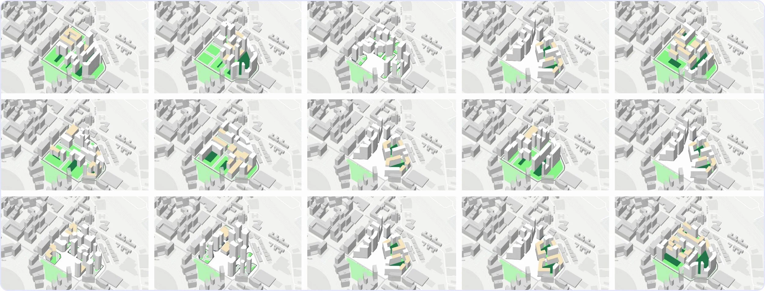 Image 3 of 11

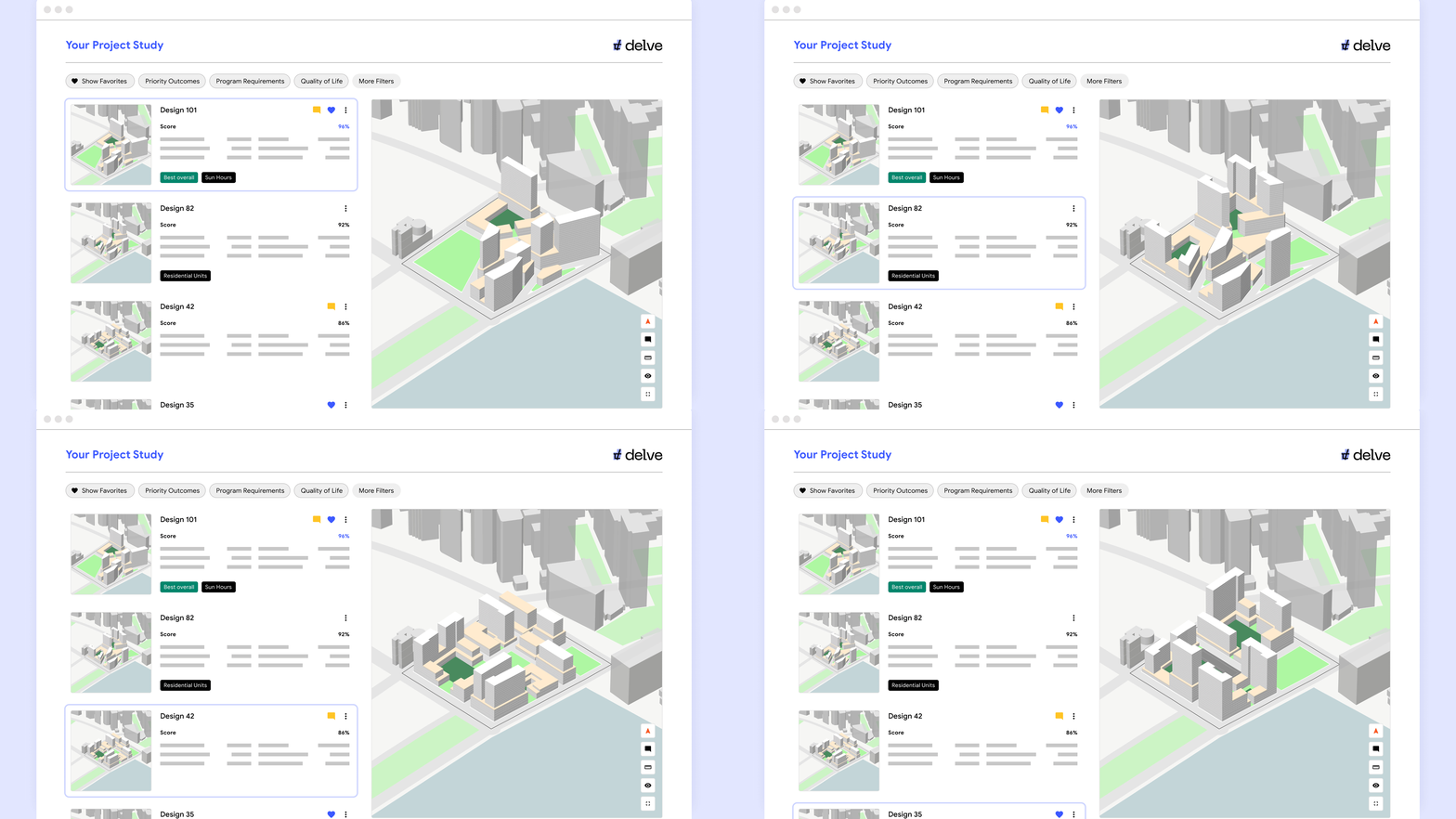 Image 4 of 11

 Image 5 of 11

 Image 6 of 11

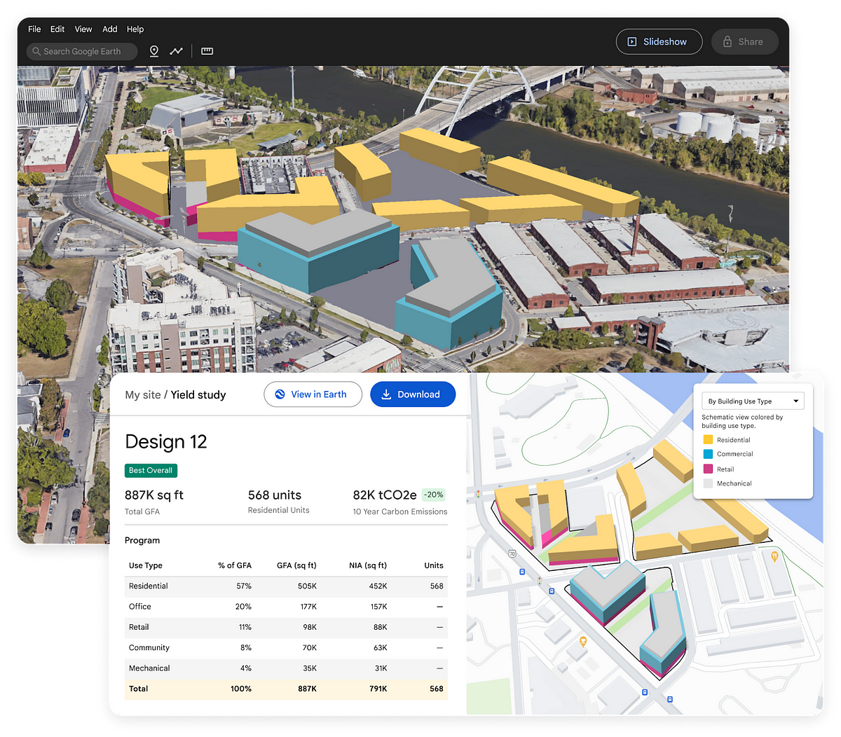 Image 7 of 11

 Image 8 of 11

 Image 9 of 11

 Image 10 of 11

 Image 11 of 11


Google Earth Design Tools is utilising Delve Integration for smarter urban planning
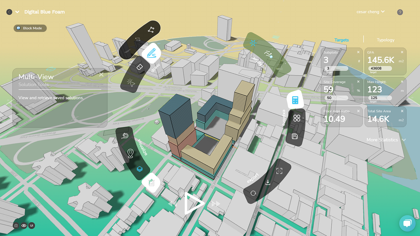
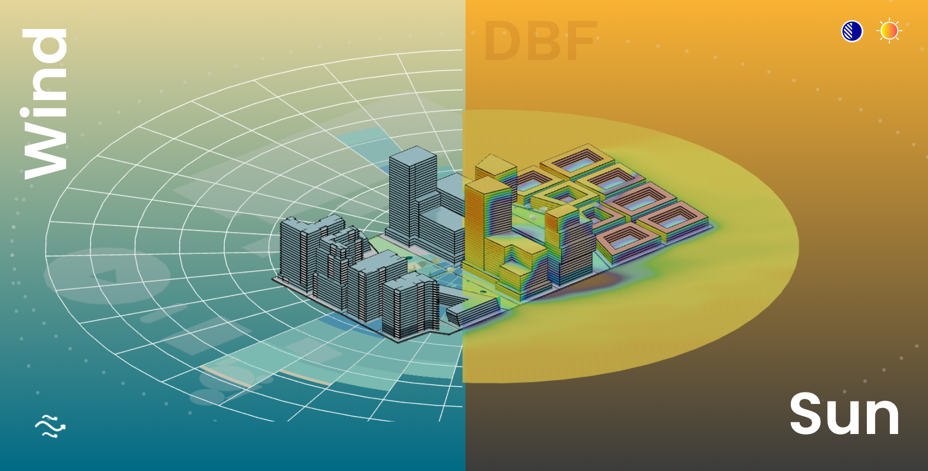
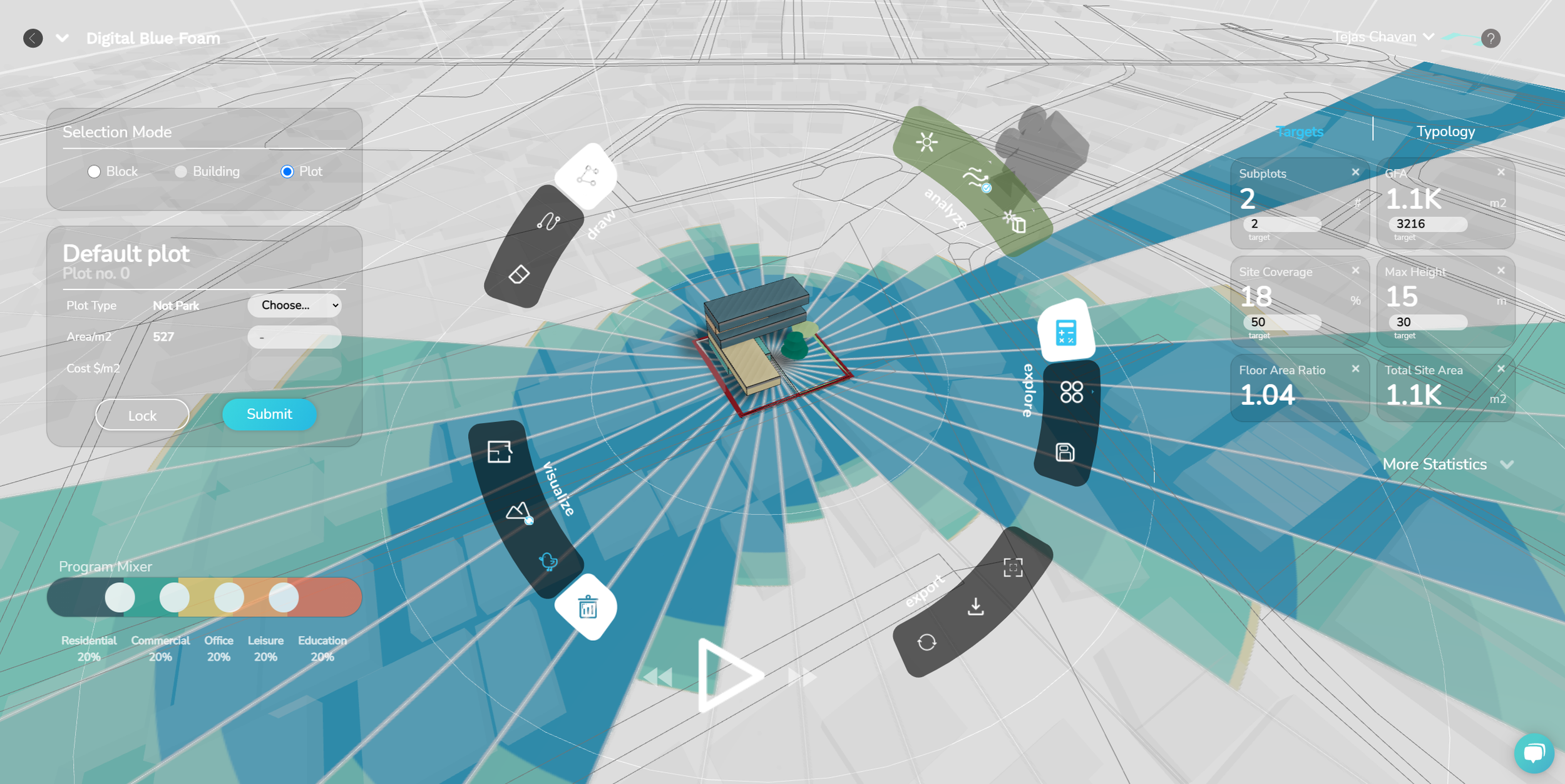
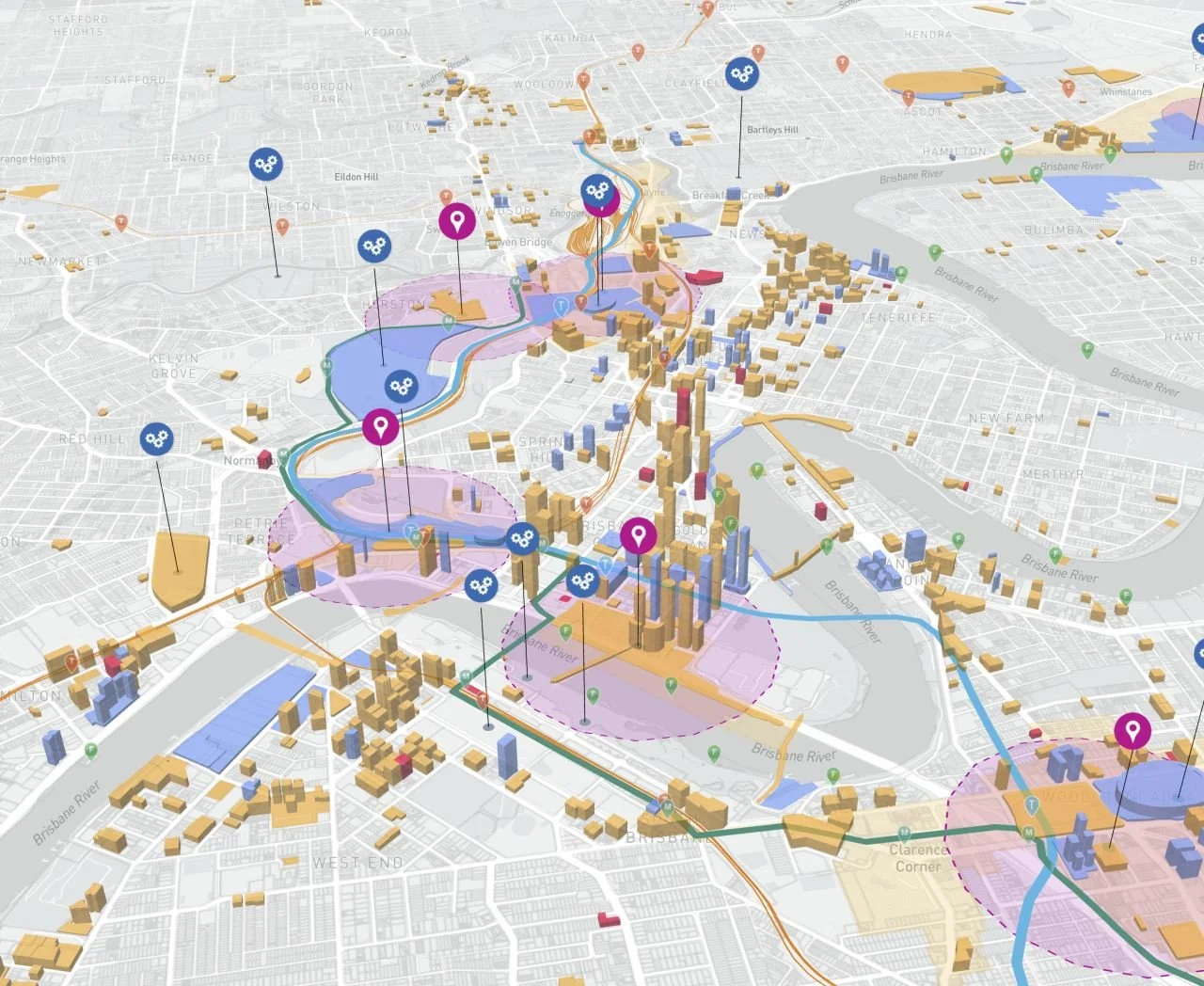
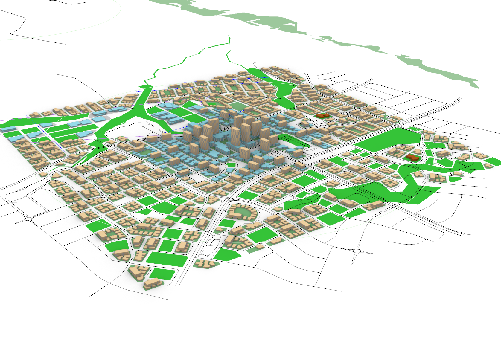
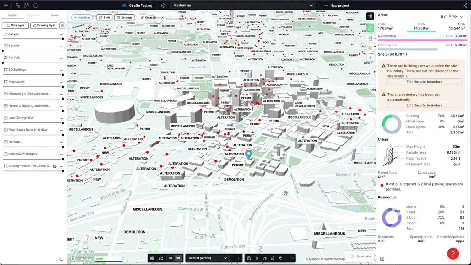
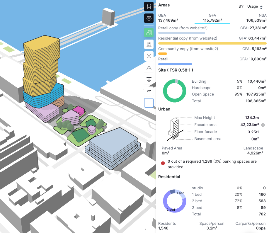
Google Earth, in partnership with Delve, offers a suite of AI-powered generative design tools aimed at revolutionising urban planning and real estate development. Launched to provide professionals with the ability to identify project locations, generate designs, and evaluate over 80 performance metrics, these tools are designed to optimise sustainability and efficiency from the earliest stages of a project. The primary users of these tools include urban planners, architects, real estate developers, and city officials.
Location
Headquarters: Mountain View, California, USA (Google).
Operations: Global reach with users across multiple countries.
Strategic Reach: Cloud-based platform accessible worldwide.
The Circular Vision
Design Principles: Promotes circular economy principles by optimising urban layouts for efficiency, sustainability, and livability.
Resource Optimization: AI-driven analysis for land use, transportation networks, and infrastructure to minimise resource consumption and maximise urban efficiency.
Life Cycle Considerations: Addresses long-term urban development, facilitating sustainable growth and adaptability of cities over time.
Leveraging for Good: Enables creators to design cities and neighbourhoods that maximise resource efficiency, reduce waste, and integrate sustainable practices from the outset.
Pioneering Solutions
Key Features: Rapid urban scenario generation, real-time analysis of key urban metrics, 3D visualisation, and collaborative design tools.
Unique Value Proposition: Significantly reduces the time and complexity of urban planning processes, enabling users to generate and evaluate multiple urban scenarios quickly and make data-driven decisions.
The Regenerative Future
Ecosystem Support: Supports regenerative urban design by enabling the creation of efficient, sustainable, and resilient urban environments.
Future Development: Continuous R&D efforts focus on enhancing AI algorithms to further improve sustainability metrics and expand the platform's capabilities in areas such as climate resilience and social equity.
Creative Empowerment: Empowers planners and designers to create innovative, sustainable urban solutions by providing data-driven insights and optimization strategies.
Ethical Considerations
Data Usage: Ensures data privacy and security for sensitive urban planning information.
Bias Mitigation: Implements measures to prevent or address algorithmic bias, ensuring fair and equitable urban development recommendations.
Transparency: Provides clear, data-driven insights and recommendations, allowing users to understand the basis for optimization suggestions.
Guardrails: Ensures compliance with local regulations and planning standards while optimising for performance.
Challenges: Balancing automated optimization with the need for human judgement and community input in urban planning decisions.
Fact Sheet
Availability: Globally accessible through Google Earth with a preview account for 60 days.
RIBA Stages: Most useful in stages 0-2 (Strategic Definition, Preparation and Brief, Concept Design).
Circular Potential: 5/5.
Key Integrations: Compatible with various GIS and CAD software.
Cost Structure: Preview account available for 60 days; post-trial access requires further subscription or extension.
Carbon Impact: Significant potential for reducing urban carbon footprint through optimised planning; platform's own carbon impact minimised through cloud-based operations.
Key Takeaway
Google Earth's generative design tools, in partnership with Delve, are at the forefront of integrating AI and data-driven insights into urban planning, offering a comprehensive platform that significantly enhances the efficiency, sustainability, and livability of urban environments while promoting circular economy principles.
Explore Further
Visit Google Earth Design Tools
